
Dowsborough
-
GG0001
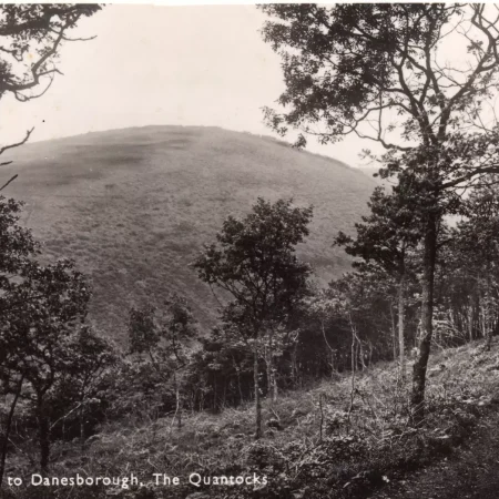
A view of Dowsborough ( or Danesborough) believed to have been taken from the track which goes down from Higher Hare Knap towards ‘spaghetti junction’ where Holford, Lady’s and Frog Combes (and several paths) meet.
-
GG0002
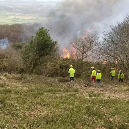
Swaling on Woodlands Hill just below Dowsborough Fort. Swaling is a heathland management technique whereby ‘old’ heath is burned to reduce the gorse, saplings, woody heather etc. to allow regeneration of the heathland. The work is…
-
GG0003
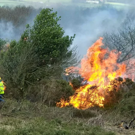
Swaling on Woodlands Hill just below Dowsborough Fort. Swaling is a heathland management technique whereby ‘old’ heath is burned to reduce the gorse, saplings, woody heather etc. to allow regeneration of the heathland. The work is…
-
GG0004
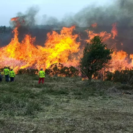
Swaling on Woodlands Hill just below Dowsborough Fort. Swaling is a heathland management technique whereby ‘old’ heath is burned to reduce the gorse, saplings, woody heather etc. to allow regeneration of the heathland. The work is…
-
GG0005
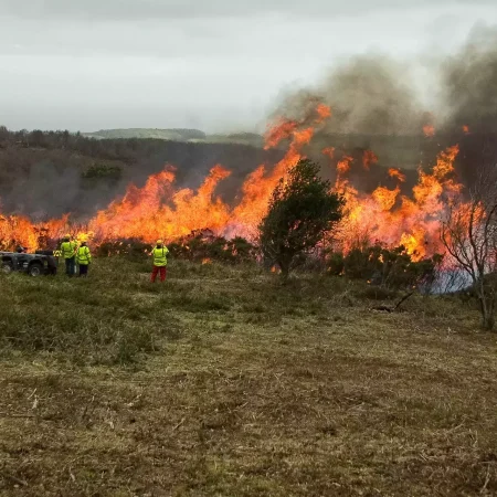
Swaling on Woodlands Hill just below Dowsborough Fort. Swaling is a heathland management technique whereby ‘old’ heath is burned to reduce the gorse, saplings, woody heather etc. to allow regeneration of the heathland. The work is…
-
GG0008
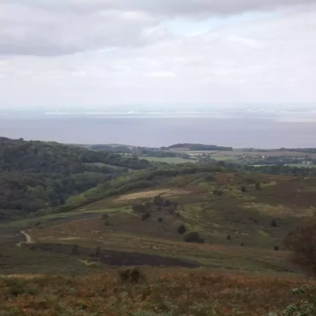
View from Dowsborough (also known as Danesborough) Hill, with Holford visible to the right.
-
HG0001
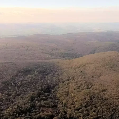
An aerial view. The hill to the right of centre is Dowsborough (sometimes also known as Danesborough) which has an iron age hill fort on top, but largely hidden by trees.